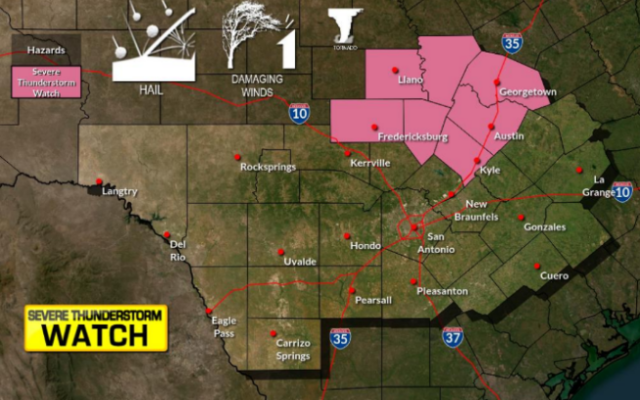
Evening storms could bring hail, gusting winds through weekend

SAN ANTONIO (KTSA News) — The National Weather Service said the trend for stormy weather the San Antonio area has seen for the last few weeks may persist through the weekend.
According to CPS Energy, storms on Friday produced more than 5,000 lightning strikes and winds as high as 77mph, and crews worked to restore service to more than 30,000 after downed tree limbs took out power lines and damaged transformers. Services were restored to all customers by Monday morning.
“The rest of today and tonight through the day on Saturday, we’re looking at as much as 3-to-4 inches total for the San Antonio area,” NWS Meteorologist Aaron Treadway said. The forecast says that thunderstorms have the chance for large hail and heavy winds.
Treadway said the rainiest days this will could be tomorrow and then Friday overnight into Saturday as the disturbance that has been in the gulfs moves to sit over the area.
NWS Meteorologist Bob Fogarty said that persistent southeasterly winds from the gulf have been pumping moisture into the lower levels of the atmosphere, giving thunderstorms a chance to produce heavy rains as more moisture continues to accumulate.
“The difficulty we are having with these forecasts is that there is no focus for anything, no cold fronts or warm fronts,” Fogarty said.
He explained this means there is a lack of outflow boundaries, like shelf clouds, and the absence of these physical indicators makes it difficult for meteorologists to precisely forecast where the worst conditions will coalesce.
“[Predicted precipitation] could change if you get one of these thunderstorms that sits over the city, then the total could be higher. If the storm complex moves more to Austin or the Rio Grande, then the total could be a little bit lower,” Treadway said.
Despite the wide-ranging forecasts, it is important to pay attention to changing weather conditions and to plan accordingly, Treadway said.
You Might Also Like