Rounds of wintry weather to eye the central US through midweek
A couple of storms will sweep across the center of the country over the coming days, bringing wintry weather from Iowa to Texas.
After dumping inches of snow in across the Great Basin and the Rockies, one storm will move across the Plains into Tuesday.
“As this first storm moves eastward, it will lose much of its intensity,” said AccuWeather Senior Meteorologist Eric Leister.
Although low temperatures Monday night across the central Plains are forecast to be mainly in the teens, and then only in the 20s during the day Tuesday, high snowfall totals are not expected across the region.
 |
Most locations from Kansas City, Missouri, on east are likely to accumulate less than 3 inches into Tuesday evening.
“By the time that first storm reaches southern Iowa and central Missouri, there may be snow falling from the sky, but little more than a thin coating is expected,” Leister added.
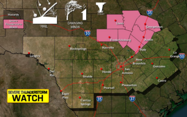
A second storm is forecast to slice across the Central states from Tuesday night to Wednesday. The southern side of the same storm that will spark severe weather across the Gulf Coast.
The snow from the second storm will begin in New Mexico and western parts of Texas on Tuesday night before spreading eastward through Wednesday. Snowfall from this storm is likely to be more impressive in terms of amounts and impact.
 |
“Several inches of snow are possible in a swath from northern Texas to southwestern Missouri,” said AccuWeather Meteorologist Adam Sadvary.
An AccuWeather Local StormMax™ of 8 inches of snow is forecast before the second system exits the region on Wednesday.
 |
Temperatures will likely be marginally low enough on the southern fringe of the snow, which may allow sleet and freezing rain to mix in with any snowflakes.
“The wintry precipitation accumulating on roadways will likely bring complications for travelers along Interstates 20, 35, 40, 44 and 49, especially during the morning commute,” added Sadvary.
Spotty freezing rain may encroach on the northern and western suburbs of Dallas for a time Wednesday morning, while travel around Oklahoma City is likely to be a wintry mess.
The snow may also lead to school delays or closures on Wednesday.
The bulk of the snow is forecast to slip south of Kansas City, Missouri, for the Chiefs victory parade, but there can be a small amount of snow on Wednesday with localized slippery conditions. AccuWeather RealFeel® Temperatures are forecast to be in the 20s.
CLICK HERE FOR THE FREE ACCUWEATHER APP
Following both of these storms, chilly air will become entrenched in the Plains. Low temperatures early Thursday morning will be in the teens from the North Dakota-Canada border down into Oklahoma and the northern Texas Panhandle. Elsewhere, lows will be in the 20s.
Temperatures are expected to rebound into the 40s and 50s across central Texas, Oklahoma, Arkansas and Kansas on Thursday, but hold in the 20s and 30s for Iowa and Missouri. In these areas, any snowpack will likely linger longer.
The same storm bringing snow to the southern Plains is expected to continue moving east, and could impact the Eastern Seaboard late in the week.
You Might Also Like