Winter Storm Warning continues through Thursday morning for San Antonio, Hill Coutry
February 1, 2023 10:43AM CST
National Weather Service
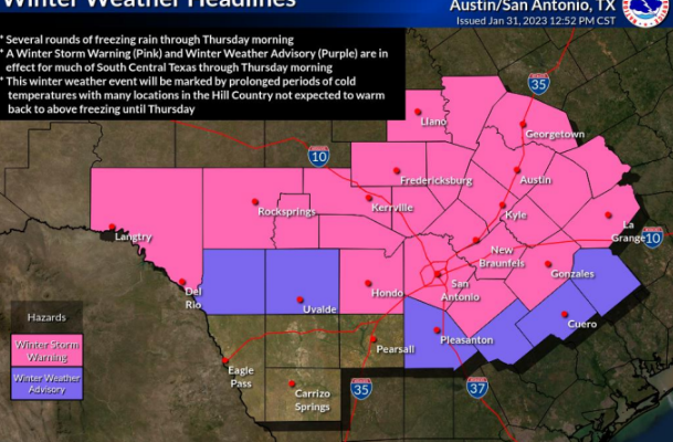
SAN ANTONIO (KTSA News) — Freezing rain and sleet continue in the San Antonio area with a final round expected from Wednesday night through early Thursday morning.
Substantial travel disruptions are expected due to significant amounts of ice across the Hill Country, the I-35 Corridor, and southern Edwards Plateau. More minor travel disruptions are possible over the Coastal Plains.
Crews are at work in many areas treating roads and highways to prevent ice accumulation, and drivers are urged to be aware of slower vehicles in areas where visibility could be reduced.
Power outages are possible as well where the worst icing occurs.

The National Weather Service has issued a Winter Storm Warning through 6 a.m. Thursday.
More about:
You Might Also Like