NWS: Thunderstorms possible through Friday morning for San Antonio, Hill Country
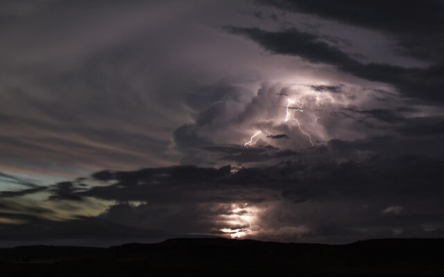
SAN ANTONIO (KTSA News) — The greater San Antonio area is at a low risk for severe thunderstorms through Friday morning, but there is still a chance.
“It’s looking like the stronger storms will stay north of the San Antonio area,” said Bob Fogerty, meteorologist with the National Weather Service. “It looks like Kerrville is still in the crosshairs, and maybe Fredericksburg.”
The most likely impact is expected to be as far north as Llano and Burnet Counties, well to the north of the Alamo City.
Heavy rain is expected at times starting around 2 a.m. Friday morning for places that are going to get it, but no flood risk is expected. Large hail is more likely, along with strong wind gusts through Friday morning after sunrise.
Stay tuned to 550 KTSA and FM 107.1 for the latest weather conditions.
You Might Also Like