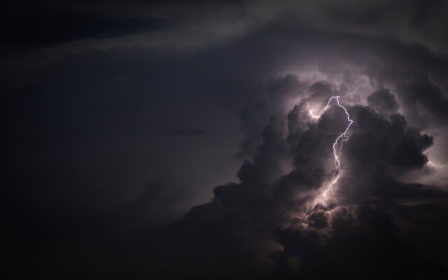
Strong to severe storms possible Tuesday and Wednesday

SAN ANTONIO (KTSA News) — More severe weather could arrive in south-central Texas as early as Tuesday afternoon, but San Antonio falls in an area that likely will not see any rain.
The risk of severe thunderstorms goes up in an area that starts at around Boerne and includes Kerrville, Fredericksburg, Austin and Georgetown.
Primary hazards include large hail and damaging winds, and the possibility of an isolated tornado cannot be ruled out.
The National Weather Service says another front will move across the region Wednesday, and current models call for severe thunderstorms starting after 7 pm. San Antonio, the southern portion of the Edwards Plateau and the IH-35 corridor, including New Braunfels, Austin and Georgetown, are at a low risk for severe weather.
You Might Also Like


